
Skip to content
Drone Geofencing
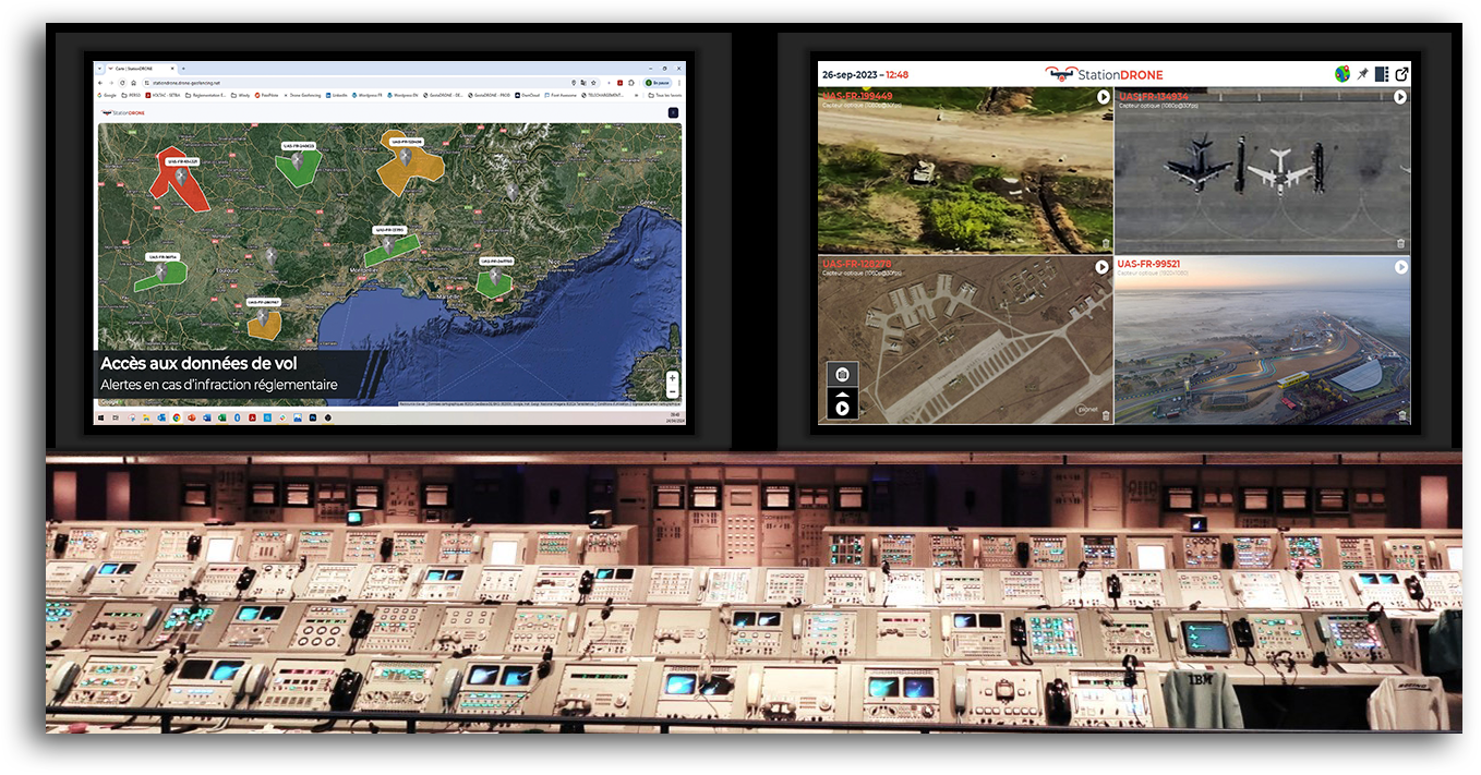
Supervision solution for a fleet (or swarm) of drones from a control center
Drone GeofencingDrone Geofencing
  • home
  • about
  • Our solutions
    • GestaDRONE
    • UrcDRONE
    • StationDRONE
  • our offers
    • GestaDRONE
    • UrcDRONE
    • StationDRONE
  • Press Relations
  • Blog
  • Contact
  • home
  • about
  • Our solutions
    • GestaDRONE
    • UrcDRONE
    • StationDRONE
  • our offers
    • GestaDRONE
    • UrcDRONE
    • StationDRONE
  • Press Relations
  • Blog
  • Contact
You are here:
  1. Home
  2. 2020
  3. janvier
  4. 18

Aerial filming: key points for successful drone video

DronesBy Samuel BrauJanuary 18, 2020

How to specify a drone aerial imaging service? Drones are mostly used for aerial imaging. However, this image capture covers widely differing applications: real estate, structural inspection, filmmaking, etc., requiring different specifications from one service to another, and consequently

  • Legal Notice
  • Sitemap
Footer
Go to Top

CONCEPT OF OPERATIONS

The supervisor, located in the control center, can monitor the progress of their drone fleet (or swarm) in real time from the ground station.

Automated flights have been pre-programmed across all drones.

The supervisor is alerted in the event of an issue and can intervene in flight operations by activating a pre-programmed emergency sequence or switching to manual control.


Need help? Our team is just a message away

  • Français